Data & demos

Explore the evidence.
Build what comes next.

Maps, experiment data, and research synthesis from UGA Mobility Lab. Find a resource, see what it contains, and follow its links to explore or reuse it.

Available research resources

Map & interactive demo

Explore the Hawkinsville route

Inspect the rural route in 3D and see where road geometry, markings, and roadside conditions challenge automated driving.

Lanelet2 (.osm) + LiDAR point cloud (.pcd), with route annotations and a browser-based viewer.

Field experiment dataset

Study EV car-following behavior

Compare one-pedal and two-pedal driving under manual control and adaptive cruise control, and examine how speed disturbances travel through a platoon.

Synchronized 10 Hz GPS trajectories from four vehicles across 12 experiments.

Interactive evidence hub

Navigate rural AV research

Explore research findings, field pilots, and deployment implications through a searchable evidence map and linked stakeholder recommendations.

Filterable reference records, cross-study synthesis, and citation exports in BibTeX, RIS, and EndNote XML.

Citation information, formats, and reuse terms are provided with each resource.

Open source

Code and data
you can run.

Public repositories from the lab: code for our papers, field datasets, and tools.

Paper code

FALCON

Que121/falcon-kr260-release

Code and measurements for a camera-based 3D occupancy network on the AMD Kria KR260 FPGA, with latency guaranteed on every frame.

  • FPGA
  • Occupancy
  • Latency

Paper code

DinoLink

UGA-MOBILITY-LAB/dino_link

Token compression for collaborative V2X perception: DINOv2 features, top-k token selection, and residual vector quantization.

  • PyTorch
  • V2X
  • nuScenes

Datasets

EV car-following data

UGA-MOBILITY-LAB/ev-car-following-opd

Field platoon experiments on GA-72: 10 Hz GPS trajectories of three electric vehicles following a lead car, with one-pedal and two-pedal driving under manual control and adaptive cruise control.

  • Field data
  • Car following
  • EV

Datasets

ADAS infrastructure readiness

UGA-MOBILITY-LAB/adas-infrastructure-readiness-dataset

Paired interior and exterior video from two commercial driver-assistance vehicles between Athens-Clarke and Oconee counties, for comparing when roadside assets appear and when the vehicle responds.

  • Video
  • ADAS
  • Infrastructure

Tools & sites

Hawkinsville route viewer

UGA-MOBILITY-LAB/rav-demo

Browser viewer for the Hawkinsville LiDAR point cloud and Lanelet2 HD map, with the route’s infrastructure challenges marked.

  • three.js
  • LiDAR
  • HD map

Tools & sites

LIO-VIO-GPS fusion

UGA-MOBILITY-LAB/lio_vio_gps_ws

ROS 2 localization workspace that fuses FAST-LIO2, VINS-Fusion, and GPS, for CARLA simulation or a real vehicle.

  • ROS 2
  • SLAM
  • CARLA

Tools & sites

Waymo motion extraction

UGA-MOBILITY-LAB/waymo_motion_extraction

Python tool that extracts trajectories and road features from the Waymo Open Motion Dataset, computes lane offset and stop distance, and plots scenes.

  • Python
  • Waymo
  • Trajectories

Tools & sites

Rural AV evidence hub

UGA-MOBILITY-LAB/rav-literature-review

Interactive TRAVELS literature review: 118 verified references across six rural AV categories, with stakeholder recommendations and exports.

  • Literature review
  • TRAVELS

Tools & sites

Long-tail driving survey hub

UGA-MOBILITY-LAB/longtail-ad-survey

Companion site for a survey of world models, vision-language-action models, and safety verification for long-tail autonomous driving, covering 302 works.
  • Survey
  • World models
  • VLA

Behind the data

From fieldwork
to shared resources.

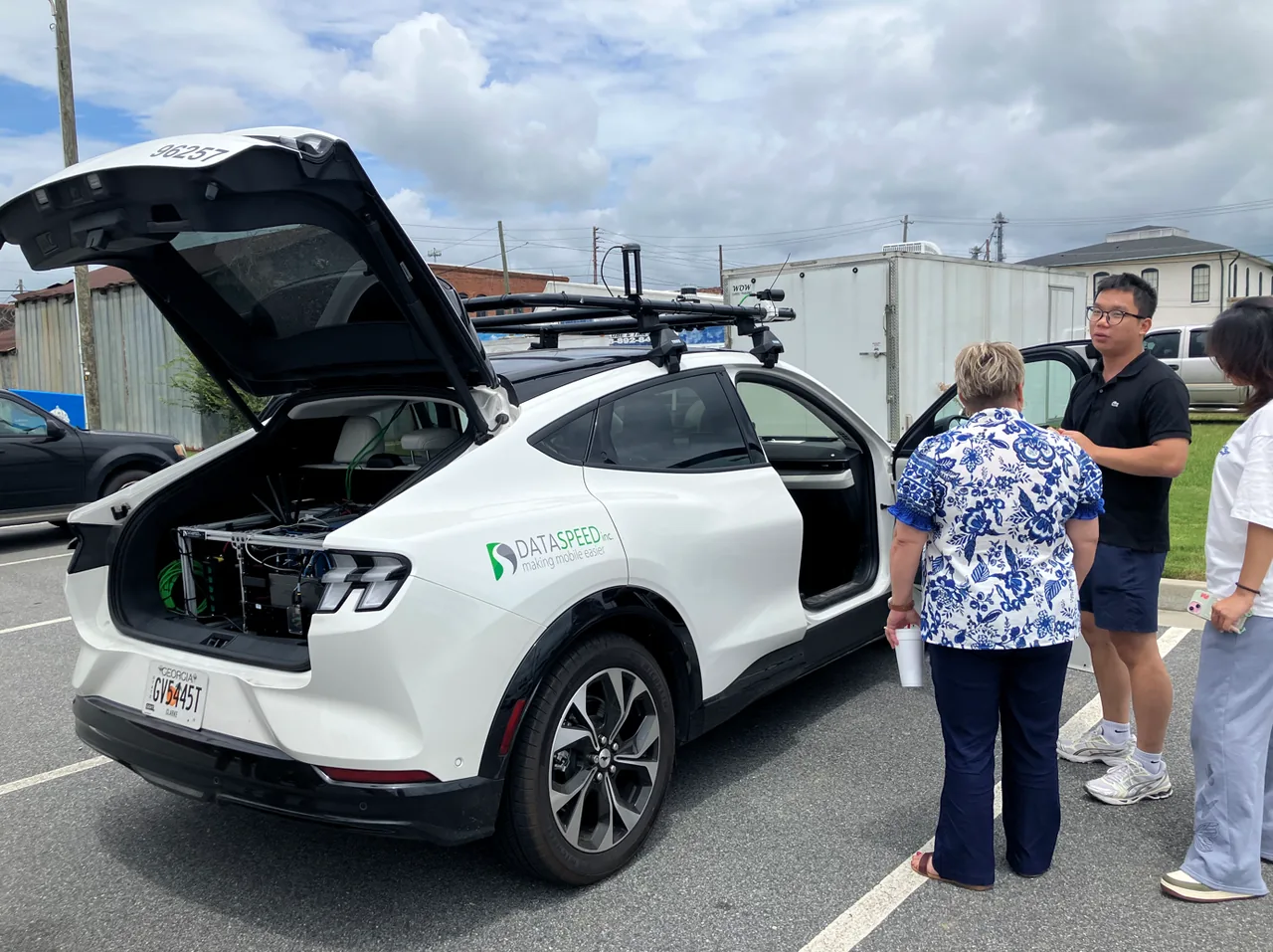
See how community discussions and rural-road data collection inform our work in Georgia.

UGA researchers and local officials discussing the research vehicle during the Pulaski County field visit
Pulaski County field visit · Photo: TRAVELS Center