Pedestrians crossing East Broad Street among cars and storefronts in downtown Athens, Georgia

University of Georgia · Mobility Lab

Intelligent mobility.
Built for the real world.

Connecting autonomous vehicles, intelligent infrastructure,
and the people who depend on them.

Explore our research
Downtown Athens, Georgia · East Broad StreetPhoto credits
Explore our resources ↓

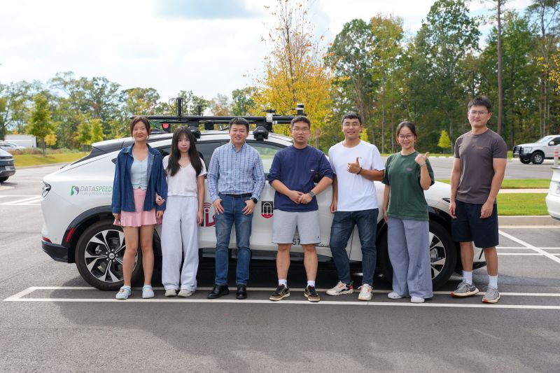
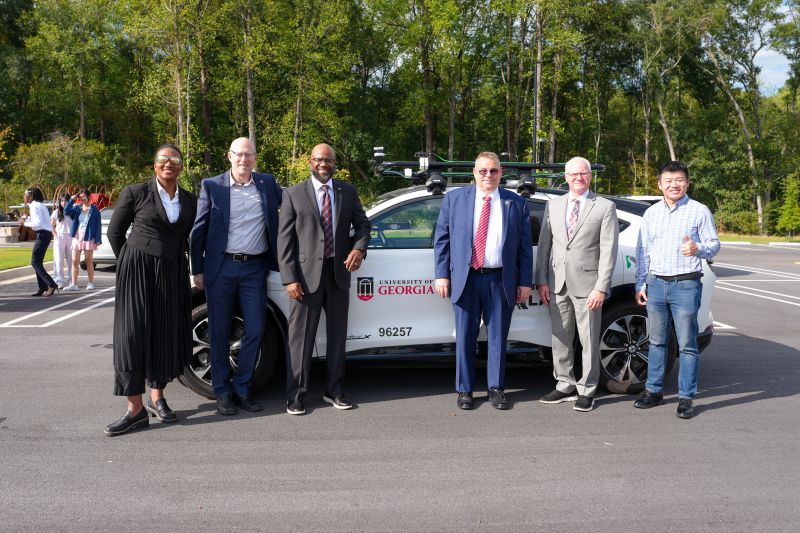
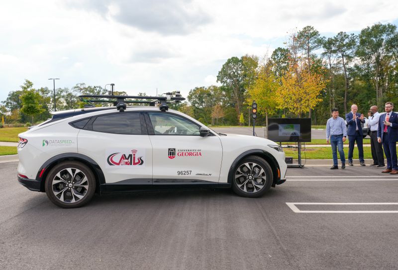
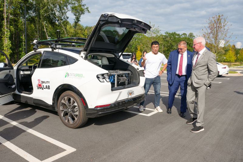
NHTSA Deputy Administrator visits UGA's Future Mobility Living Lab

Media coverage · Oct 27, 2026

NHTSA Deputy Administrator Lee White visited UGA's Future Mobility Living Lab for a research briefing and autonomous vehicle demonstration highlighting a USDOT-funded rural mobility project.

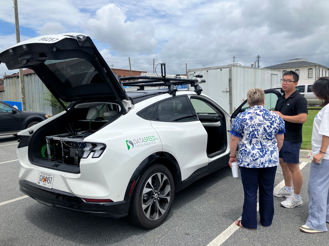
Seven members of the UGA Mobility Lab team standing beside a sensor-equipped research vehicleVisit participants standing beside a sensor-equipped UGA research vehicleSensor-equipped UGA research vehicle alongside attendees at an autonomous vehicle demonstrationA researcher and visitors discussing equipment in the open rear compartment of the UGA research vehicle
Photos: Georgia Network for Electric Mobility

Our research

From how vehicles see
to how communities move.

Mobility is more than a vehicle. It is a connected system.

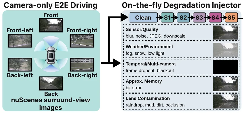
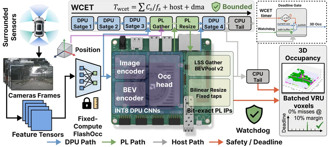
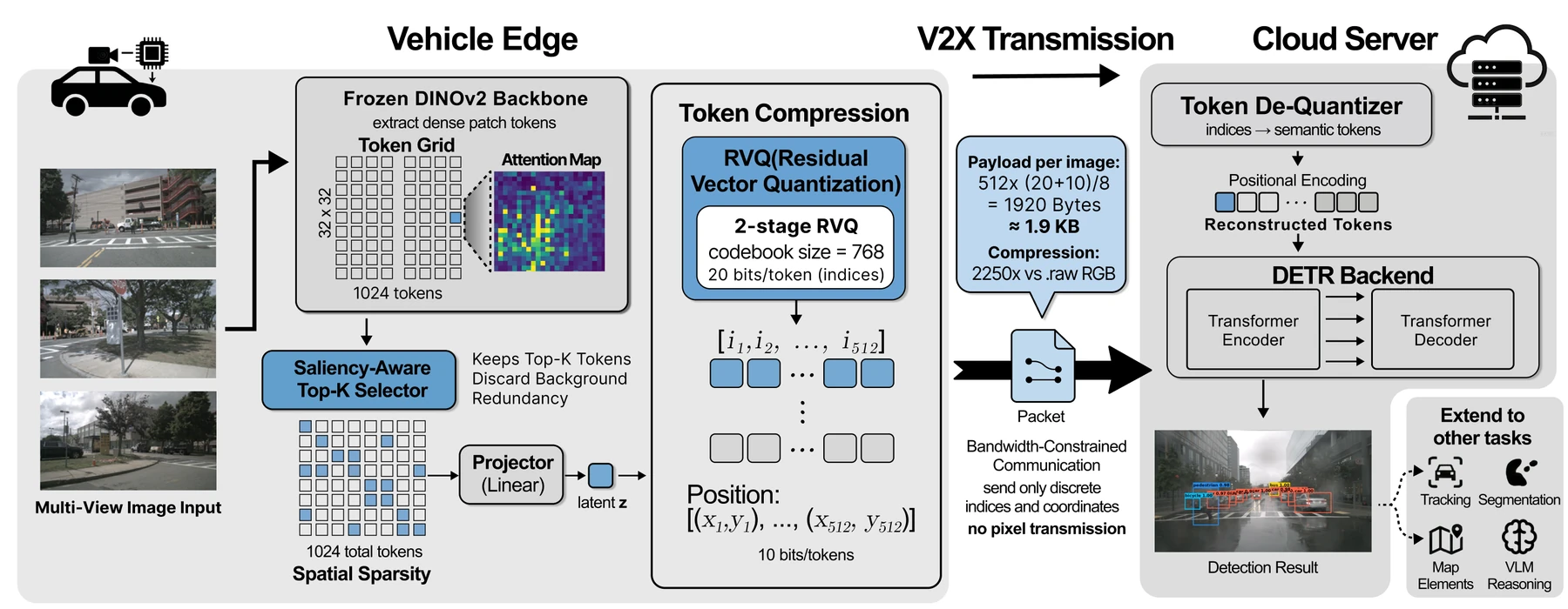
Six research threads follow it end to end, combining deep learning, hardware acceleration, V2X communication, 3D scene modeling, field experiments, and HD mapping.

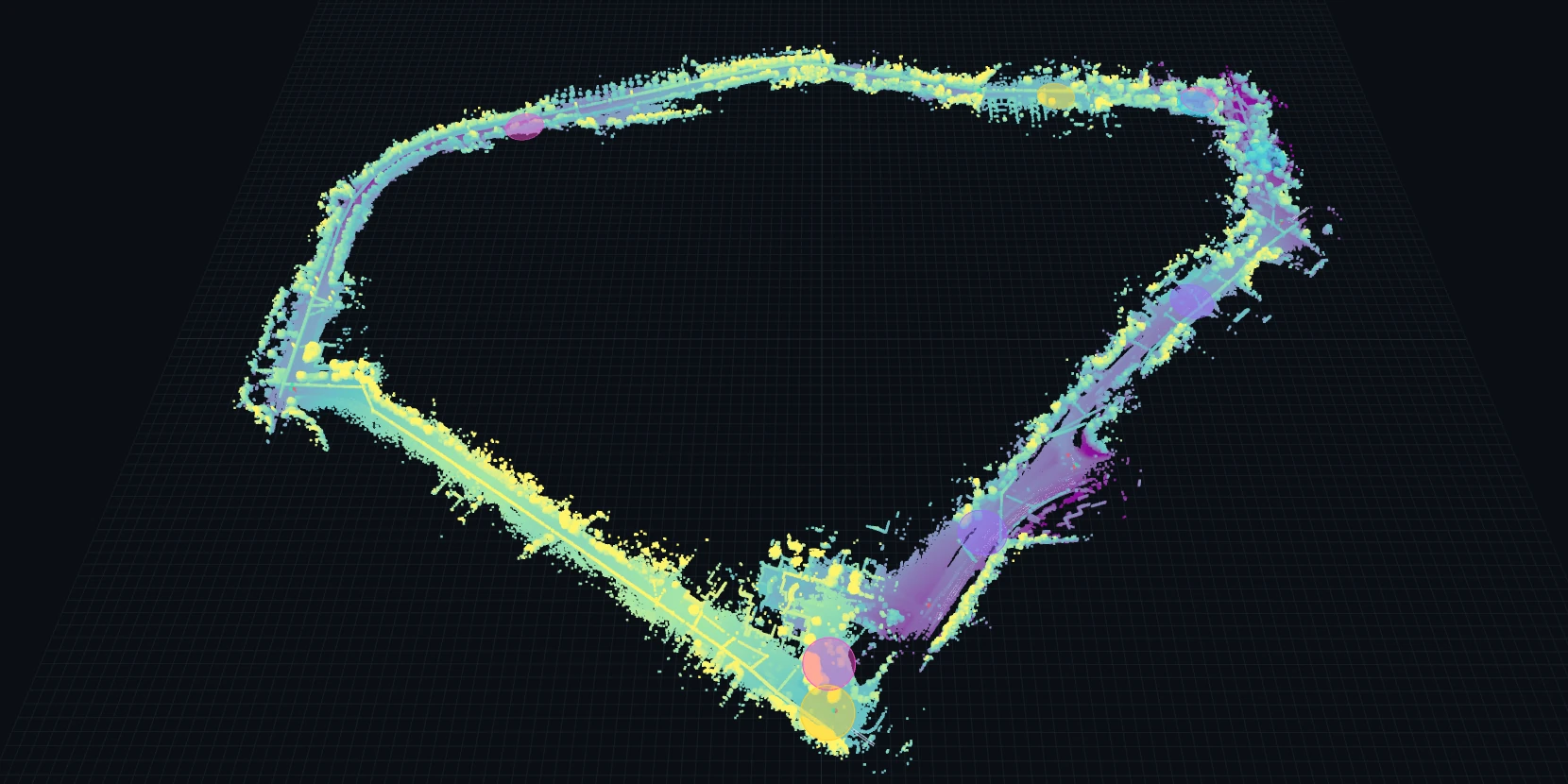
Hawkinsville, Georgia · LiDAR & HD map

Explore the route in 3D

Drag to orbit · scroll or pinch to zoom · shift-drag to pan

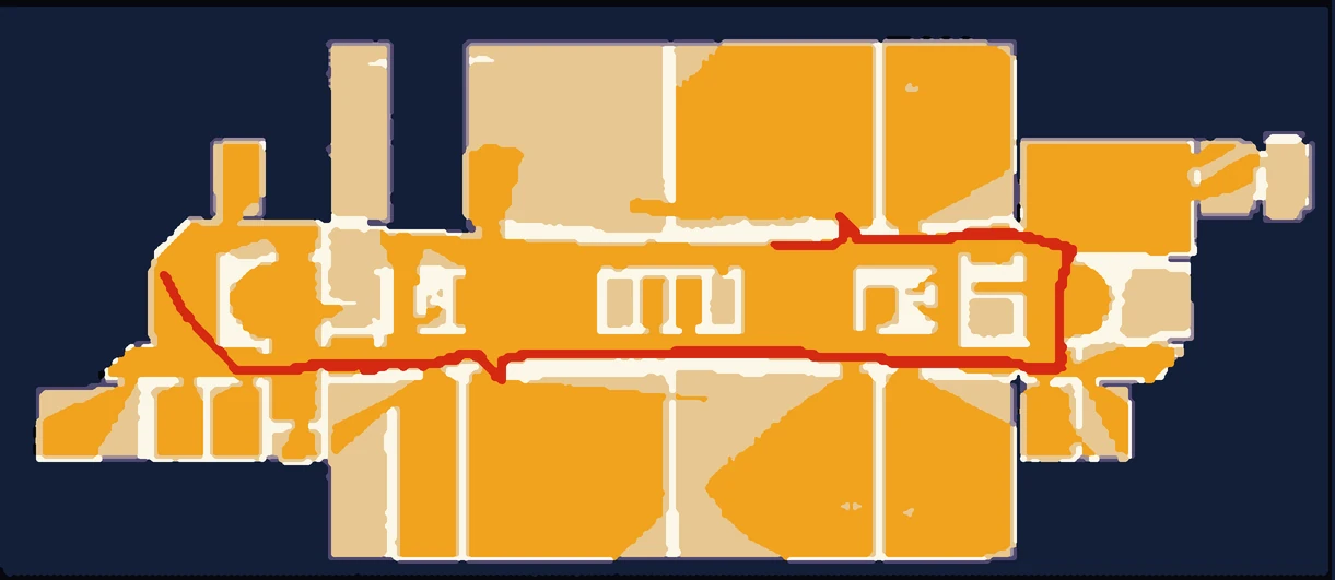
Thinned from the lab’s public Hawkinsville release, about 95,000 of 4.3 million LiDAR points. Red dots trace the Lanelet2 HD map. Challenges are from the lab’s route survey. Full data Full viewer

Open research

Explore. Download.
Build on our work.

All data & demos

Map & interactive demo

Explore the Hawkinsville route

Inspect the rural route in 3D and see where road geometry, markings, and roadside conditions challenge automated driving.

Field experiment dataset

Study EV car-following behavior

Compare one-pedal and two-pedal driving under manual control and adaptive cruise control, and examine how speed disturbances travel through a platoon.

Interactive evidence hub

Navigate rural AV research

Explore research findings, field pilots, and deployment implications through a searchable evidence map and linked stakeholder recommendations.

Beyond the algorithm

Research meets
the road.

Our instrumented vehicles support rural-road data collection and EV car-following experiments. Field observations connect infrastructure conditions with vehicle behavior.

Explore the Georgia case study
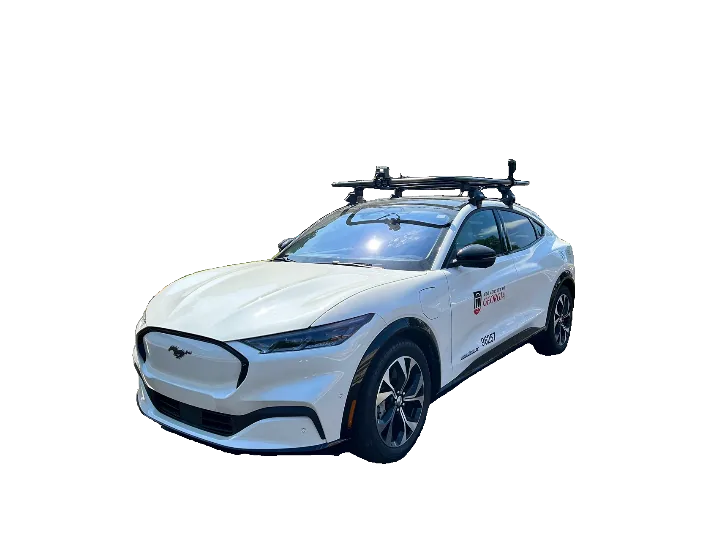
Sensor-equipped University of Georgia research vehicle
UGA research vehicle

Inside Mobility Lab

People. Places.
Real-world work.

Field visits, instrumented vehicles, and student collaboration.
A closer look at the work behind our research.

Meet our team
UGA researchers discussing a sensor-equipped research vehicle with local officials during a TRAVELS field visit

In the field · July 2026

A conversation about rural mobility.

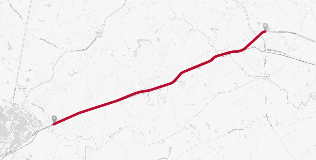
During a TRAVELS visit to Pulaski County, Georgia, the UGA team discussed demonstration routes and collected data for HD-map development.

Explore the fieldwork & maps Photo: TRAVELS Center
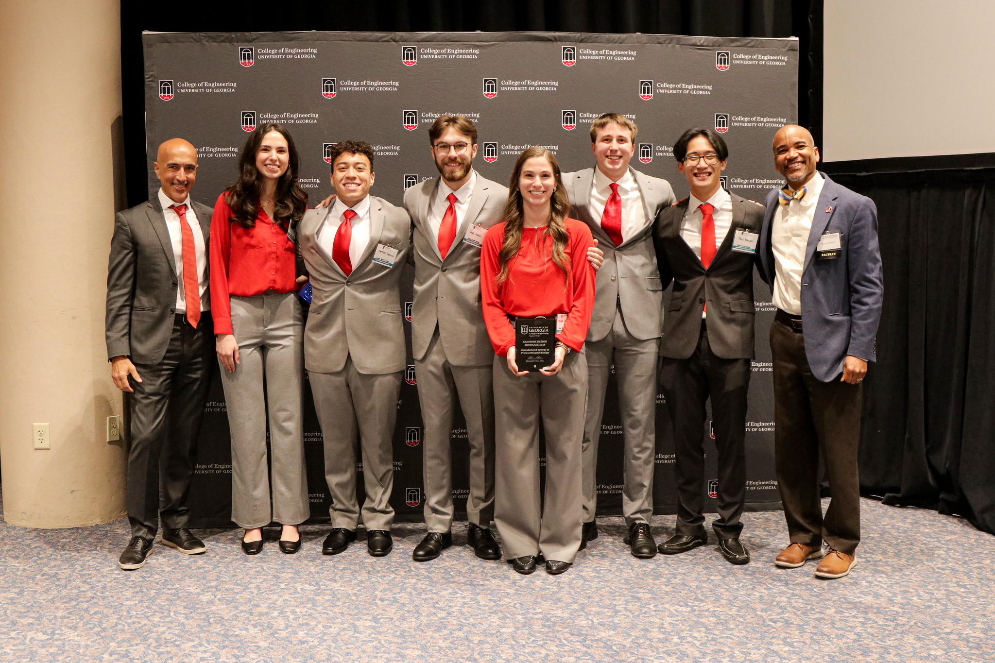
The Mobility Lab-supported capstone team at the UGA Engineering 2026 design awards ceremony

Student collaboration · 2026

Engineering, recognized.

The Mobility Lab-supported capstone team received the Manufactured System or Process Design Award for its autonomous vehicle infrastructure evaluation tool.

Meet the award-winning project Photo: UGA College of Engineering
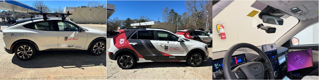
UGA-branded Ford Mustang Mach-E and Kia Niro research vehicles alongside an instrumented vehicle cockpit
Our research tools

UGA research vehicles and instrumentation
for EV car-following experiments.

Ideas move further together

Let's work on
what moves us.

Connect with Mobility Lab

Take the wheel

Can you out-drive
the autopilot?

Drive through towns, farmland, a river bridge, downtown, and pine forest. Stop for red lights and people crossing, pass cyclists and slow farm traffic, and watch for faster cars behind as rain, fog, and nightfall shrink what the sensors can see. Switch on autopilot to let it drive, and take the wheel when it needs you.

  • ← → or A D Change lanes
  • ↑ ↓ or W S Speed up or brake
  • T Autopilot on or off
  • Space Start or pause
  • Tap either side of the road to change lanes; hold Faster or Brake to change speed.

Ready to drive?

The next traffic light shows at the top of the road before it comes into view. Stop on red and for people crossing.